A curated selection of commercial inspection and aerial documentation projects — every one shared with the client’s written permission, every one anonymized. What you see here is exactly what our reports look like.
How this portfolio works
Four standing rules: written consent before publication, every time · anonymized (no names, no addresses) · commercial work only · curated, not everything we fly. If a project you don’t recognize looks like your property, it isn’t — and clients can have imagery removed with one email: sales@mwairlift.com.
Selected work
Real engagements, published with written consent. Each service ends with the report you’d actually receive.
Property & HOA
Amenity center and pool deck — roof, shade, deck and fencing in one framePavilion from directly overhead — roof, walkway and beds for the reserve fileStormwater control measure — forebay, outlet structure and spillwayCommon turf — bare and thinning areas, dated for comparisonAccess drive and parking — surface, striping and curb line
Individual homes are not included. An association is responsible for common area — the residences belong to their owners, and a record of conditions on private property is not something a board can act on.
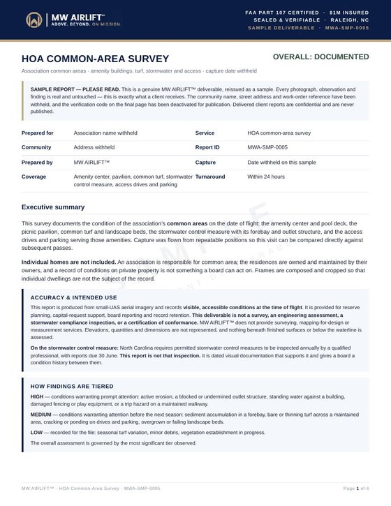
The deliverable. Every survey ships with this report — shown as delivered, details redacted. Tap the cover for the full sample (PDF).
Construction & Sitework
Site overview on the date of flight — haul corridor, base and stagingGeogrid and base from directly overhead, before coverHeadwall and inlet structure with surrounding gradeMaterial stockpile and equipment staging, datedGraded haul corridor — surface and standing water after rain
The pre-cover frames are the point. Geogrid, base and drainage structures stop being evidenceable the moment the next lift is placed. A dated overhead frame is the only record that survives.
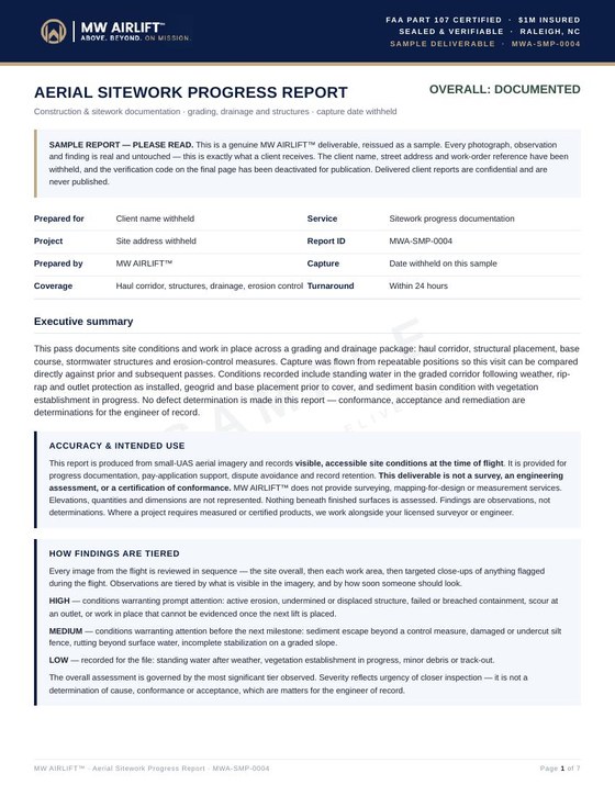
The deliverable. Every visit ships with this report — shown as delivered, details redacted. Tap the cover for the full sample (PDF).
Roof & Building Documentation
Plan view — the full roof in one frameDetail pass — vents, mounts, a prior repair, as foundNadir survey — every plane and penetration, datedClose pass — granule and flashing detail, no ladderSteep-slope angles a ladder can't reach safely
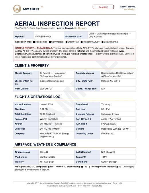
The deliverable. Every job ships with this report — shown as delivered, details redacted. Tap the cover for the full sample (PDF).
Land & Site Intelligence
Site overview — structures, access, tree linesPlan view — the working parcel, flown for comparisonGraded entrance — surface and water after weatherRetention and berm — state on the date of flightErosion control as installed — fence, pipe, rip-rap3D terrain with contours — auto-generated by SkyeBrowse
The terrain visualization is auto-generated by third-party software from our aerial capture — illustrative, not a survey. MW AIRLIFT™ does not provide surveying or measurement services.
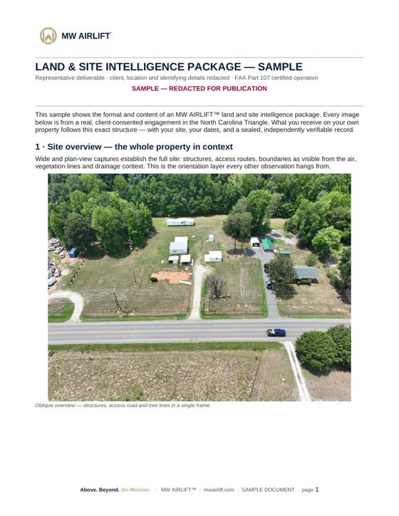
The deliverable. Every job ships with this report — shown as delivered, details redacted. Tap the cover for the full sample (PDF).
Cold-Chain Monitoring
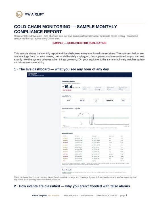
Live dashboard — our own training fridge under deliberate stress-testing: the system catching, timing and classifying every event
Sensors report every 20 minutes. Daily min/max on the clinic day (America/New York), matching paper VFC practice; every reading hashed on arrival; reports sealed and independently verifiable at mwairlift.com/verify.
The deliverable. Every job ships with this report — shown as delivered, details redacted. Tap the cover for the full sample (PDF).